Mojave Road Trail

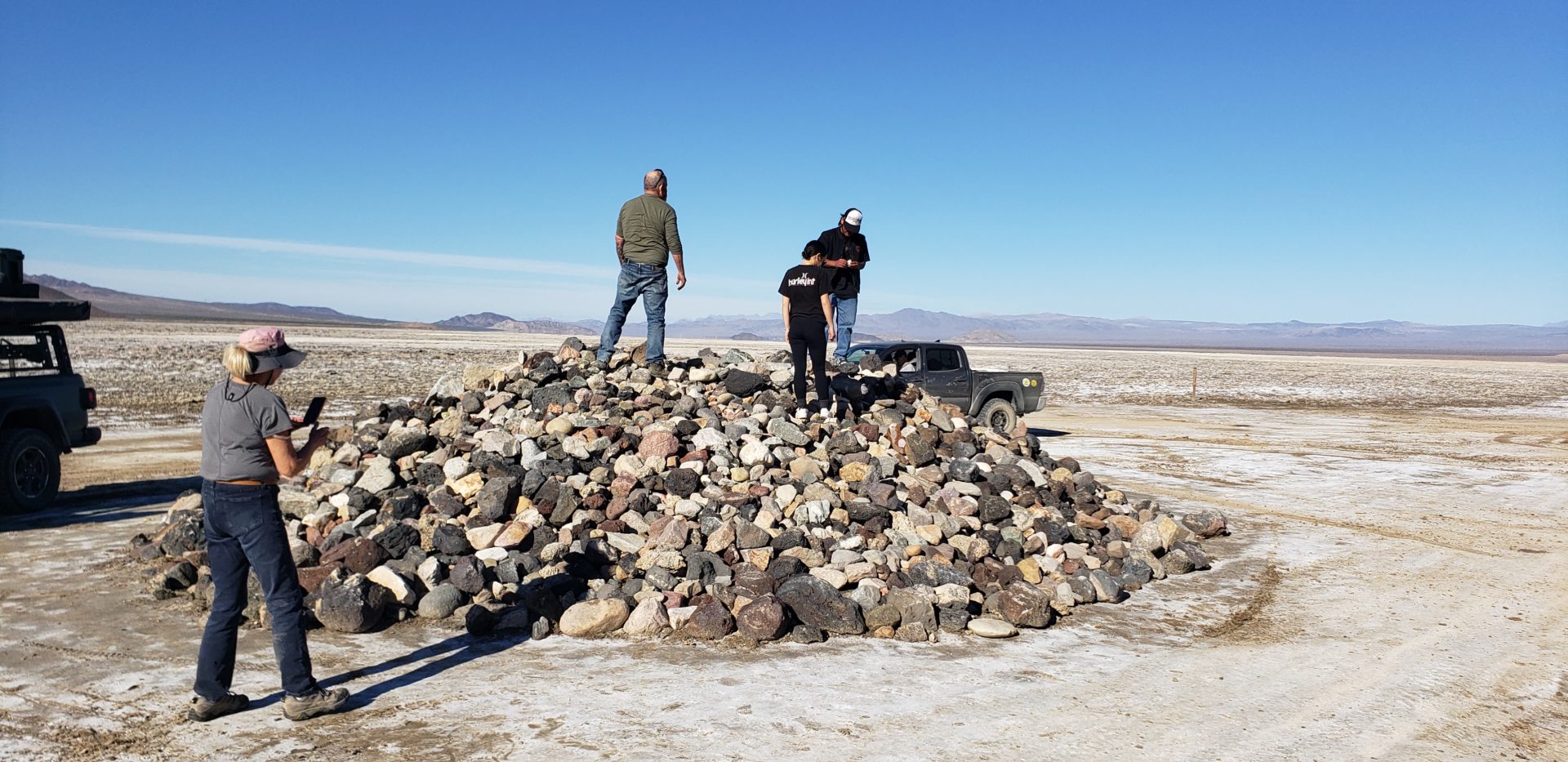
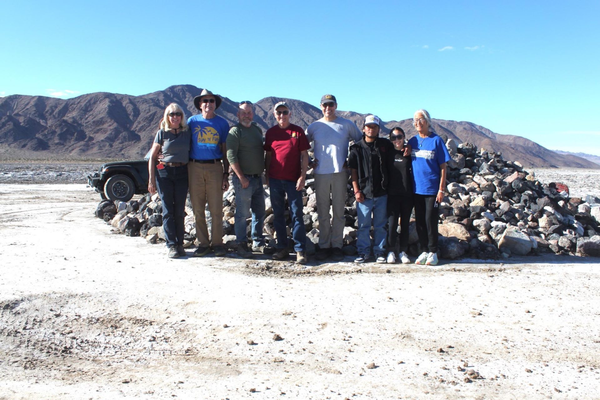
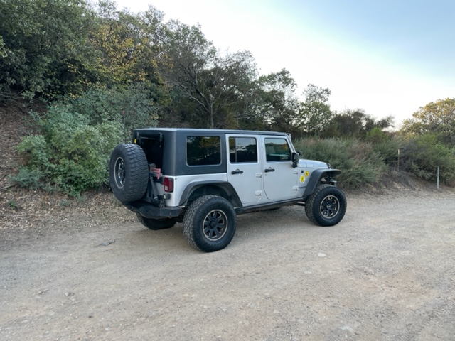
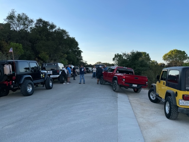
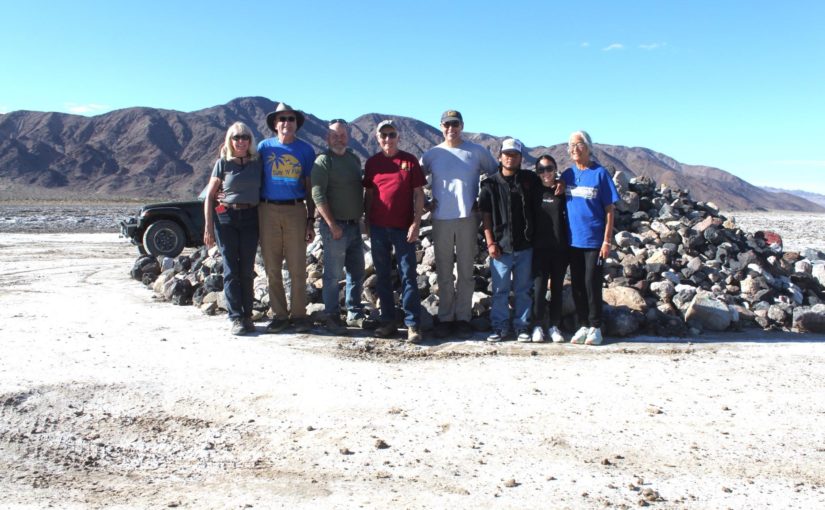
We had a great time! 

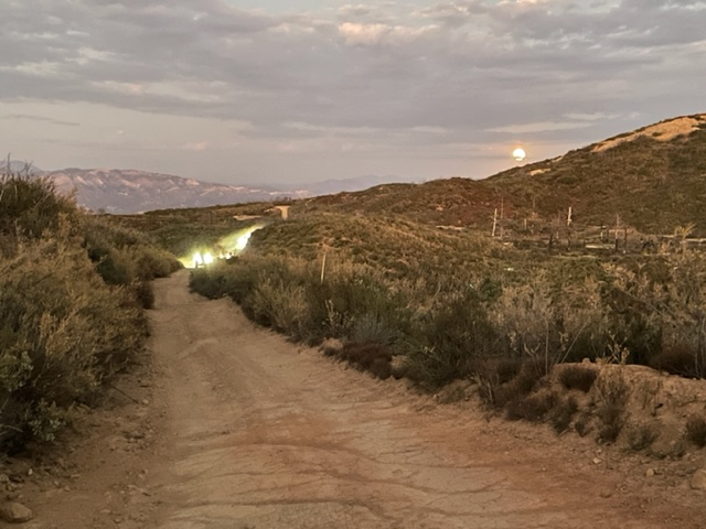
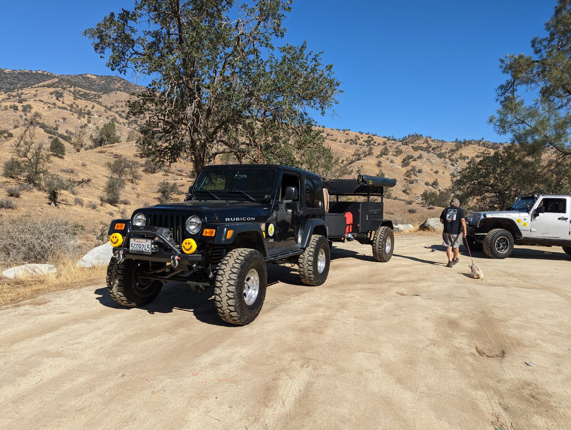
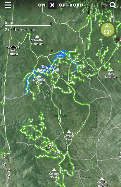
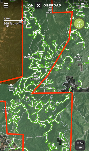
We left about 8AM Friday morning and got out Tuesday afternoon with a lot of hard driving in between.  There was a lot of erosion in places and a lot of deep “whoop-de-doos”.  I did it 3 times many years ago and we would not see a soul out there.  Now lots of other vehicles and trails going every which way, making navigation very difficult.  Kim did a great job keeping us on the correct trail, mainly using GAIA MAPS downloaded to a tablet with built-in GPS for moving map capability. It did not show one of the historic springs, but otherwise was very helpful. 

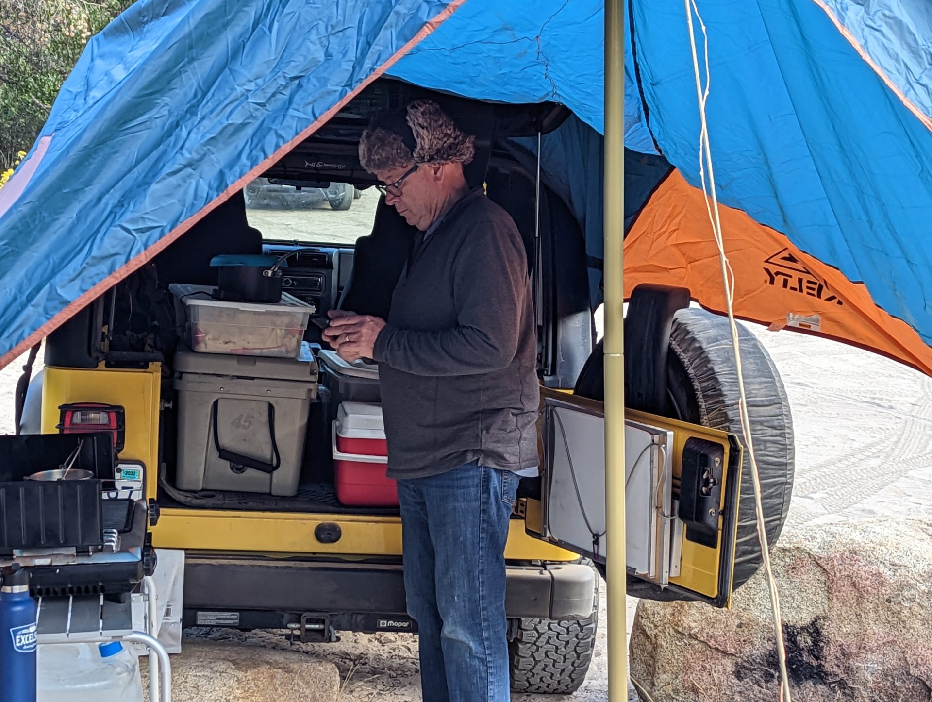
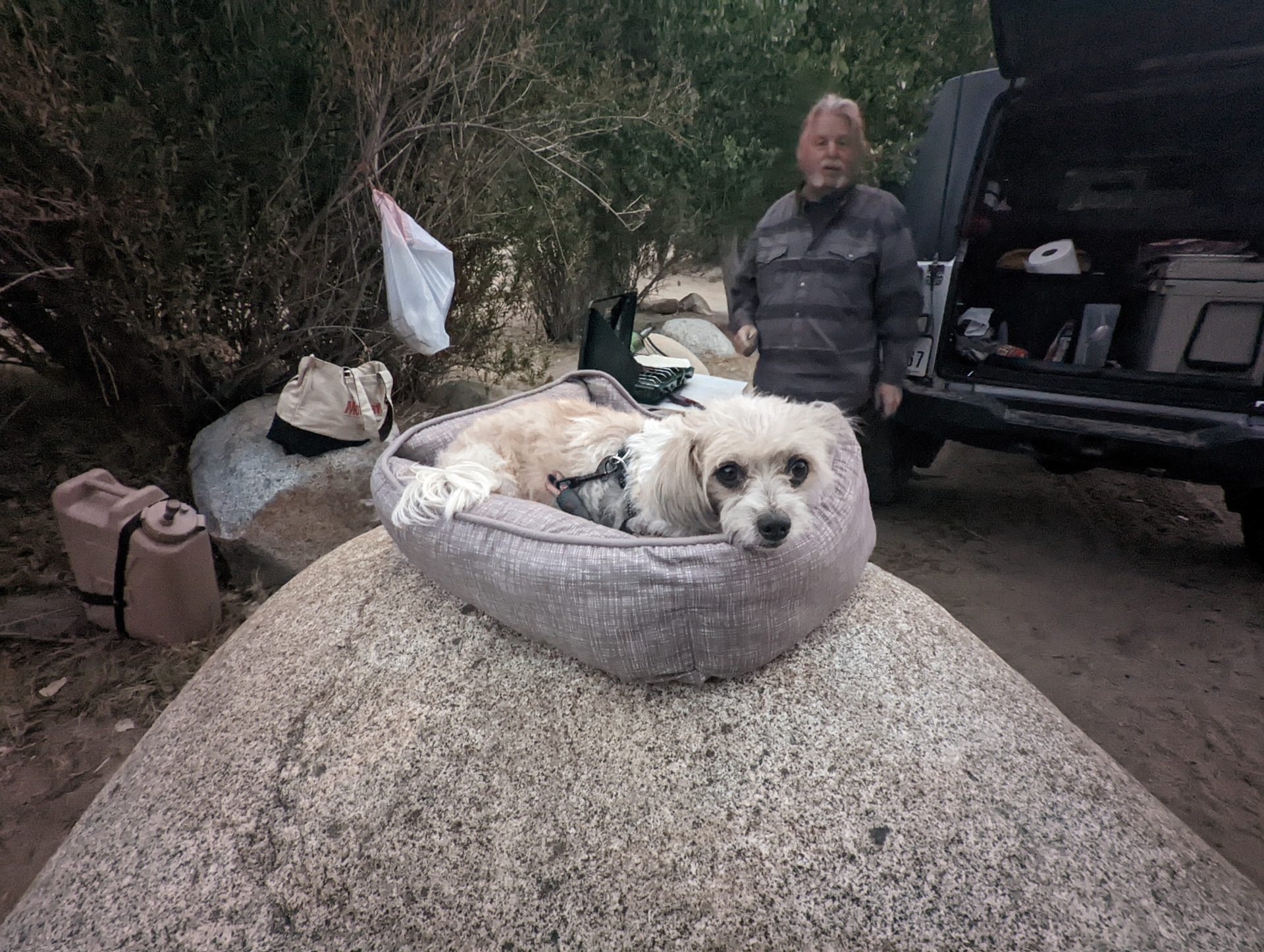
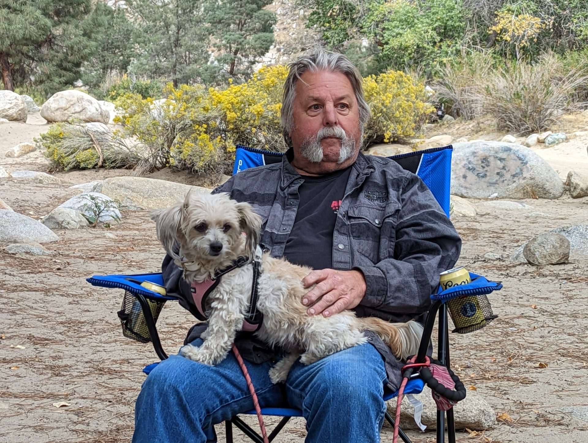
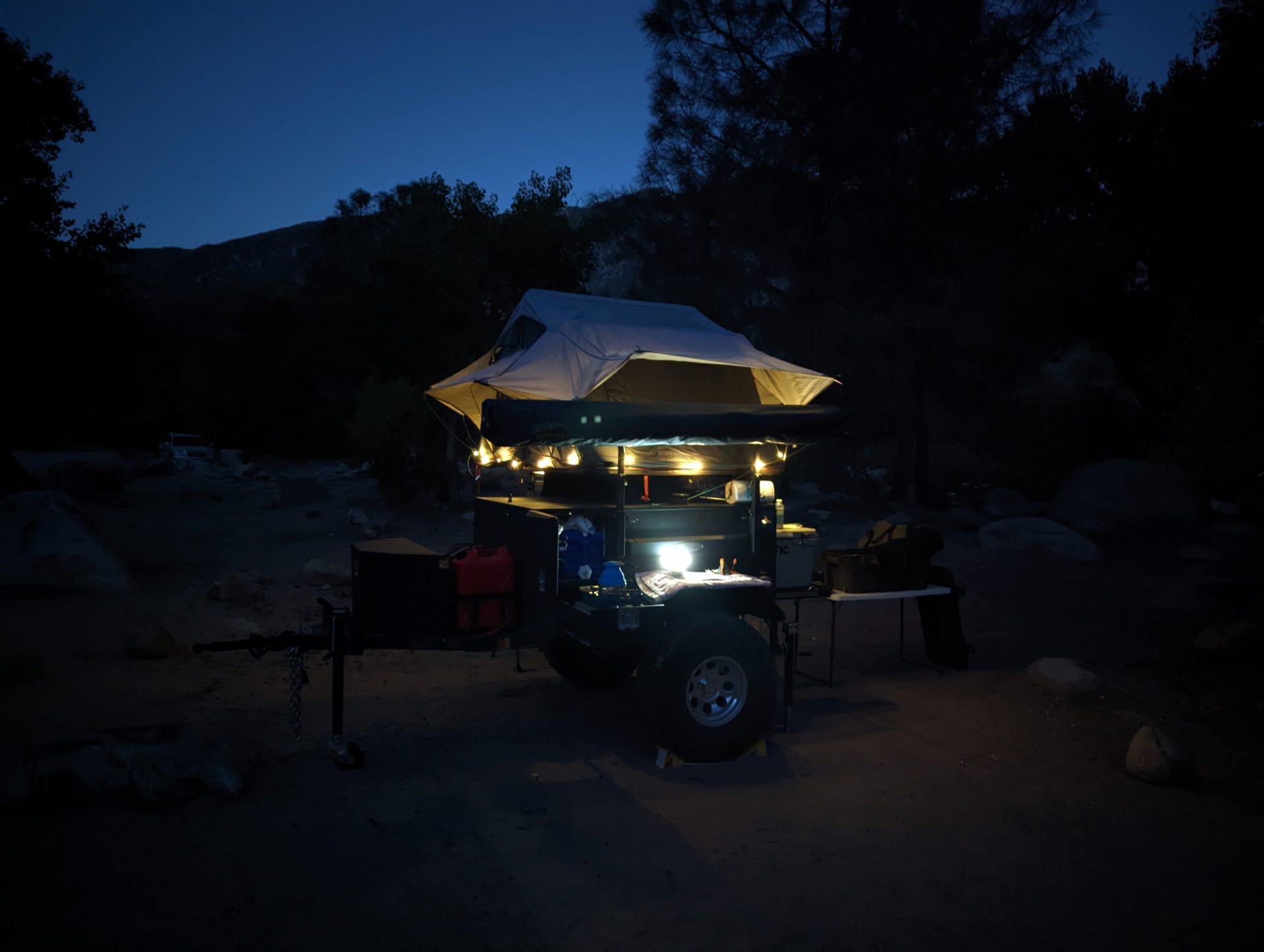
We encountered the very steep hill with the deep spin-outs late in the day, so we took the bailout route.  We were all tired by then.  We had great campsites all 3 nights, however the second night was very cold!  It was 36 F when I got up, so likely about 30 at 5 am. 

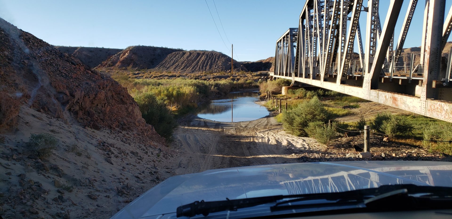
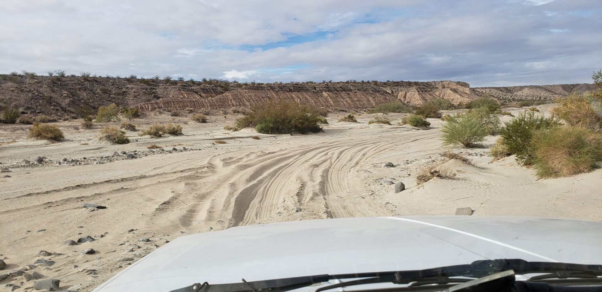
The terrain included lots of deep sand, a few steep hills, some big rocks that washed down onto the trail at an alluvial fan crossing, two deep water crossings, and some deep erosion issues.  But no problems!

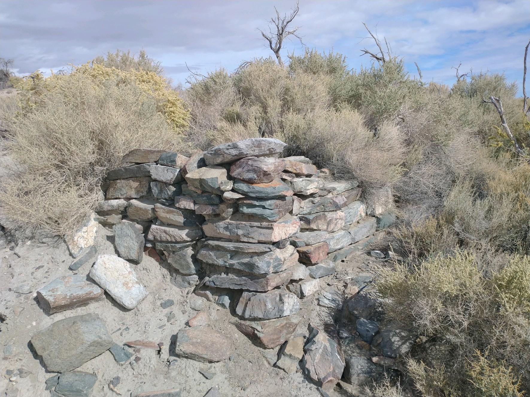
By finishing Monday we beat the rain.  But those of us who stayed to visit Calico “Ghost Town” had lots of wind (and maybe the others also) on the drive home.  On the first full day of the trail we all stopped to visit Fort Piute, built in the mid 1800’s.  It now has interpretive signs. We also did a hike at the end of the trail to see the scant remains of Camp Cady.  It was very hard to find and not much was left, but two of us did find it, but only after a long search. 

Written by Gary V.

Kern River – Fall “Recon” Trip

This was a small “recon” exploration along the Kern River above and below Lake Isabella in mid October.  The purpose was to: Enjoy to Mid 70’s daytime weather, scout out potential sites for a group meet, evaluate water levels and fishing opportunities in the Kern River, evaluate if the area would be a good base camp for trail runs in the surrounding Sequoia National Forest. 

We found most of the public lands below Lake Isabella restricted from the usage of overland style camping.  There are a couple reservation/fee campgrounds but they offer little for larger groups

Above Isabella/Kernville we found an abundance of campsite options along the Kern River.   We selected the Lower Springhill Campground.  This site is at 3500 feet of elevation. We experienced no wind the first night and moderate winds the second as storms blew over the higher elevations of the valley.  Nothing above 12 mph winds

We found the fishing in this area very accessible with no results in the catching.  We did discuss with other anglers who had great results as recent as February

We found the village of Johsondale to be spared by the 2021 wildfires and while it seemed active around the lodge, there is no public fuel station.   

The burn scar area along Mountain Highway 50 is currently being logged to salvage the numerous old growth trees which were killed in the fire but not burnt beyond usage.  The salvage period is set to expire going into 2023 so there would be trail possibilities both east and west in elevations around 5k-8k. 

This upper Kern River shows promise as a base camp for trail runs such as the Sherman Pass 4X4 trail; Poison Creek Trail; Cherry Hill trail;